
Eden Prairie Previous Residents by Era
For an Eden Prairie address, begin with the source that matches the time period. The current property result supplies the parcel identification number, or PID, and legal description. The city parcel service adds the map position, lot and block data, and related geographic fields. From there, Hennepin's land-record and library collections extend the trail backward. The table separates an Eden Prairie ownership clue from evidence of a past household, so a single document is not asked to prove more than it can.
| Address source | Time covered | Access point | Useful trail detail |
|---|---|---|---|
| Hennepin Property Information | Current and prior-year tax and assessment material | County portal or counter | PID, situs address, sales context, parcel description, and a five-year recent-recording shortcut. |
| Eden Prairie GIS parcels | Current service, updated quarterly | City map and REST service | Geometry, ZIP, addition, lot/block, district fields, and owner/mailing schema. |
| Hennepin RecordEASE | Online start and cutoff not located | Index, Pro, research terminal, or copy route | Grantor, grantee, instrument, legal description, and recorded-transfer trail. |
| Hennepin plat maps and atlases | 1873, 1898, 1913, and 1914 among digitized items | Library Digital Collections and Recorder-linked materials | Addition, lot/block, landowner, road, and township context. |
| Nearby city directories | Varies by locality, including Minneapolis 1859-1963 in the browse | Hennepin Library digital and print collections | Historical address and household clues, not proof of an Eden Prairie address. |
| Federal census | 1790-1950 released under the 72-year rule | National Archives and library databases | A household snapshot, not annual residence evidence. |
The current portal is the right first stop when the address is known. For Eden Prairie family-history research, move next to the map, directory, newspaper, or census period that overlaps a recorded transfer. The Hennepin Property Information search is particularly useful because its address, PID, addition-name, and interactive-map modes make the parcel the common key.
Eden Prairie Previous Resident Trail
Save the PID, situs address, legal description, addition, lot/block, and the date of each result before following any earlier record. A situs address is the Eden Prairie parcel's physical location. A mailing address is where tax correspondence goes, so it may point elsewhere. The legal description identifies the land in the recorded system and is often more dependable than an old street number. The city GIS service also gives a map-to-PID bridge, with parcel geometry and fields for neighborhood, school district, watershed, ZIP, and lot or block when available.
- PID
- A 13-digit Hennepin property identification number used to tie the county property result to a specific parcel.
- Situs address
- The physical address of the parcel, which is different from an owner's correspondence address.
- Legal description
- The lot, block, addition, survey, or metes-and-bounds description used to distinguish the land in recorded instruments.
Address-to-deed flow: address to PID and legal description, then current deed, then the prior seller as grantee, then the next earlier deed for the same parcel.
When the number is uncertain, compare the addition, lot/block, PID, street-name variants, and map geometry. This gives an Eden Prairie address trail a stable land key even when a label changes. No official Eden Prairie renumbering or readdressing project was located in the research, so an apparent modern-number match should not be treated as automatic proof of an older address.
Note: The property page's recent recording history covers only five years and cannot replace a title search.
Eden Prairie RecordEASE Before Images
The Hennepin County Recorder / Registrar of Titles maintains deeds, mortgages, liens, releases, plats, Torrens certificates, and other recorded instruments. Request a RecordEASE public-index account through the county, then search the legal description or a person or entity name. The index is free after the account request. An image or certificate is a separate access step: RecordEASE Pro charges $2.50 per document, certificate, or plat, while the Research Center's public computers and the Recorder's mail or email copy routes are alternatives.
See the county's RecordEASE public-index entry point before beginning the instrument search.
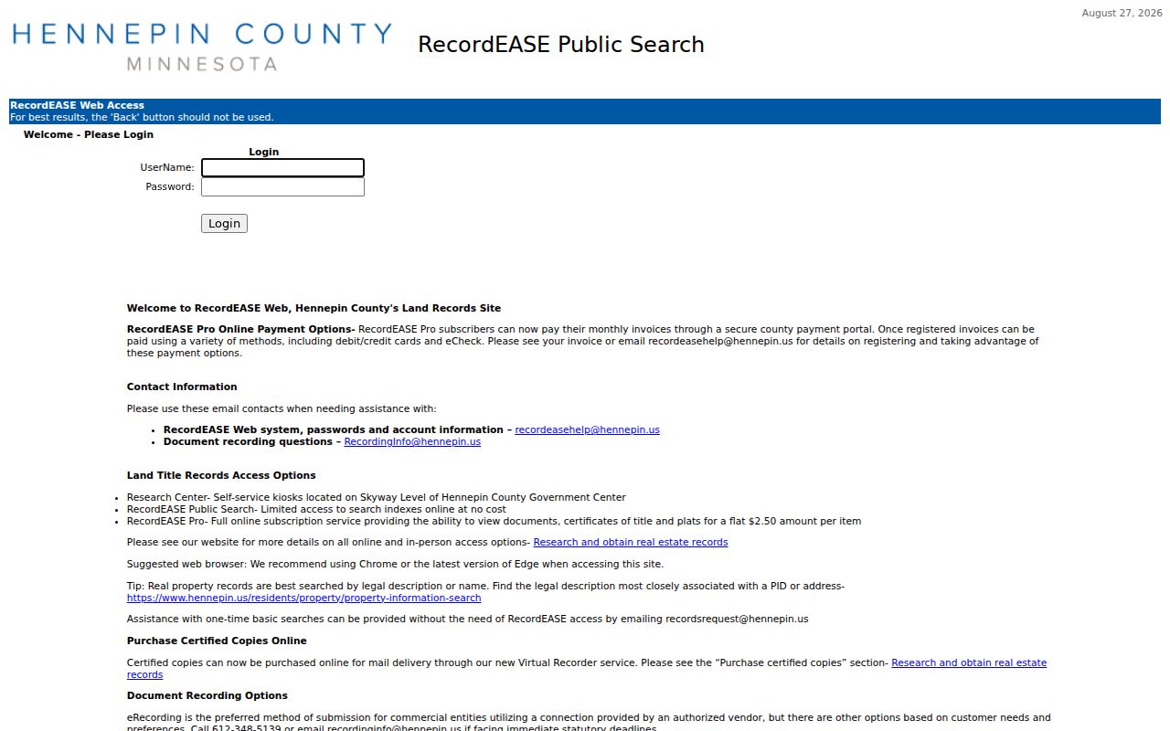
The index is the place to identify the document and its parties; choose an image, terminal, or copy route only after confirming the parcel and instrument.
Do not assign an online beginning or cutoff year to RecordEASE. Hennepin's official material did not identify one. If an Eden Prairie trail stops, use the county research terminal, Recorder staff, paper books, microfilm, or library and Minnesota Historical Society holdings instead of assuming the first unreturned search is the oldest record.
Trace Eden Prairie Previous Residents
A chain of title is the sequence of recorded transfers for the same parcel. It identifies recorded interests, not every person who used the address. Start with today's Eden Prairie parcel information, find the purchase instrument, and preserve its legal description throughout the search. In Minnesota's grantor-grantee index model, a grantor transfers an interest and a grantee receives one. The date, instrument number, and legal description keep similarly named people and nearby parcels from being blended into one history.
- Locate the Eden Prairie address in Hennepin Property Information and record the PID, legal description, addition, lot/block, sales context, and current result date.
- Confirm the parcel in the city GIS service. Use its geometry and neighboring PIDs to make sure the address has not been confused with a parent parcel or adjacent lot.
- In RecordEASE, locate the current purchase deed with the buyer or grantee name and the same legal description. Note the document number, recorded date and time, instrument type, and grantor.
- Use that prior seller as a grantee in an earlier search. Keep testing the legal description, spouse or name variants, and dates against the exact parcel.
- Repeat backward. When the available index stops, ask the Recorder about the terminal, copy route, paper records, or microfilm rather than inferring a missing transfer.
- Grantor / grantee
- The grantor is the party transferring a recorded interest. The grantee is the party receiving it.
- Chain of title
- A documented sequence of recorded instruments for one parcel, followed backward or forward by party role and legal description.
- Instrument number
- The Recorder's identifying number for a filed document, useful when requesting the correct image or certified copy.
Hennepin's property result may link to recent recordings, but that five-year view is a convenience layer. It cannot establish the full prior-owner sequence for an Eden Prairie parcel. The county's document-copy and research guidance explains the terminal, Pro, mail, Virtual Recorder, and property-owner email paths.
Eden Prairie Past Residents and Plats
When a street number does not carry cleanly into an older record, switch from the number to the legal description. Hennepin Library's digital maps include atlases from 1873, 1898, 1913, and 1914, plus many plats. They can show additions, roads, lots, blocks, and township land context that explain why an Eden Prairie address search fails. The current legal version still comes from the Recorder, but an older map can narrow the record trail before an office request.
That rural-to-suburban transition matters in Eden Prairie. The city's history records a much smaller township population before later growth, which is why an earlier parcel may be easier to find by plat or land description than by a modern street label. Compare the map date to the deed date and do not turn a landowner label on an atlas into proof that a person lived at the parcel.
Note: A map or plat supplies land context, while a recorded instrument supplies the legal transfer evidence.
Eden Prairie Previous Residents in Directories
Recorded owners are only one layer of a past-household search. Previous residents of an Eden Prairie address may appear in a criss-cross directory, which reverses the usual name-first arrangement and returns the people or businesses printed at that address in that volume. Hennepin's digital collection is searchable by name and address, but its official browse does not list a dedicated Eden Prairie directory run. Edina, Hopkins, St. Louis Park, Lake Minnetonka, and Minneapolis volumes can offer migration context. They do not prove an Eden Prairie residence without an address-specific match.
See the Hennepin digitized-directory browse for the available locality and year runs.
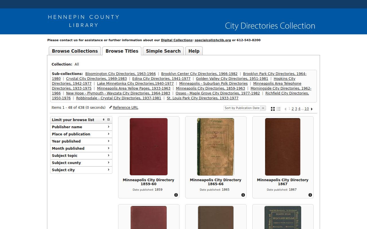
Use the displayed locality and year as a limitation, then inspect the page image and its abbreviation key before recording a household connection.
The household workflow is: directory year and address, then nearest released census, then newspaper, cemetery, probate, or deed evidence if the person disappears. Federal census schedules through 1950 are public under the 72-year rule and are snapshots rather than annual proof. The historical holdings themselves are described on the Eden Prairie city directory page; here they serve as dated companions to the parcel trail.
Eden Prairie Maps and Permits
Hennepin Library's house-history guidance joins address searches with plats, maps, directories, newspapers, Recorder records, and Sanborn material. Sanborn coverage is mostly Minneapolis and Hennepin County, with a 1912 base and changes through about 1930; no standalone Eden Prairie sheet was located. For Eden Prairie previous residents, historical atlases and plats are the safer map route for rural or township context. City building records can date construction or alterations, but an exact public Eden Prairie archive and field set were not located.
Use the library's Researching Homes guide as the starting point for those materials and for the correct library fallback.
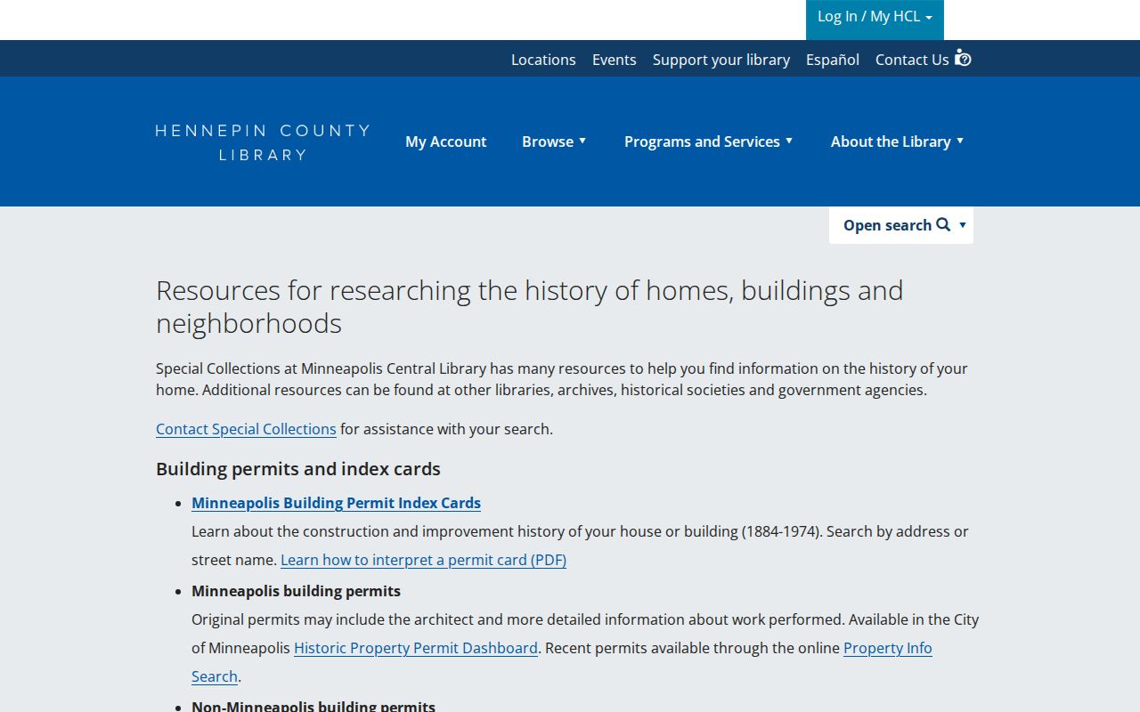
The guide supports a record-by-record approach: establish the parcel, date an event, then test it against a map, directory, news item, or recorded instrument.
End Eden Prairie Past-Resident Trails
When a person no longer appears at the address, do not assume a move. Search the Minnesota Historical Society People Records index, newspapers, cemetery records, and public probate or estate material for an Eden Prairie trail endpoint. An obituary may connect relatives and dates. Probate material can identify heirs or a fiduciary when public, but an address in an estate file does not establish a current location. Hennepin civil files in off-site Minnesota Historical Society holdings may require advance retrieval.
Lawful use. Use previous-resident records for family history, estate work, civic research, or personal property history. Minnesota law prohibits stalking and harassment, and protected addresses must remain protected.
Eden Prairie Cemetery Record Trail
For Eden Prairie Cemetery, the city describes an 1864 survey and 1865 deed history, while association secretary books begin in 1898. This local record series can connect an interment, grave deed, or transfer to a family trail when its date and name align with the parcel evidence. It is not a substitute for a recorded property transfer or an address-specific household record.
The cemetery has no documented central online name lookup in the research. Use the city contact and deed or plat route, then pair any finding with an obituary, probate record, directory date, or recorded instrument. That keeps previous residents tied to evidence rather than a loose surname match.