
Eden Prairie ZIP Code Directory Labels
Official USPS label material identifies three standard Eden Prairie delivery ZIP labels: 55344, 55346, and 55347. The labels are useful for delivery and address normalization. The research did not locate an official USPS polygon for an Eden Prairie neighborhood, a precise local post-office boundary map, or a per-ZIP resident count. Each label below therefore describes only the documented postal association. It does not draw an inferred boundary around a neighborhood, a street, or the City of Eden Prairie.
| ZIP code | Documented postal coverage | Post office or label | Records note |
|---|---|---|---|
| 55344 | Eden Prairie delivery addresses in the USPS label group; exact polygon not located. | USPS label city: Eden Prairie; station assignment not located. | Standard delivery ZIP, not a city-limit test. |
| 55346 | Eden Prairie delivery addresses in the USPS label group; exact polygon not located. | USPS label city: Eden Prairie; station assignment not located. | Mailing city and municipal boundary can differ. |
| 55347 | Eden Prairie delivery addresses in official USPS label material; exact polygon not located. | USPS label city: Eden Prairie; station assignment not located. | Use current USPS verification for delivery routing. |
USPS materials also describe a 2014 processing consolidation involving 55347. That history is not a current boundary source. The current postal lookup, not an older bulletin, is the appropriate tool to verify a delivery ZIP. Hennepin parcel and Eden Prairie GIS records answer a different question: whether a specific parcel is within municipal geography and how it is described for property records.
Note: Treat 55344, 55346, and 55347 as postal labels until an official source supplies the separate geographic fact needed.
Eden Prairie ZIP Code Directory USPS Check
The USPS ZIP Code Lookup has two relevant modes: ZIP Code by Address and ZIP Code by City and State. Address mode asks for street address, city, and state. City-and-state mode returns ZIPs associated with the supplied place. Its result is a postal standardization answer. USPS expressly notes that a ZIP result does not confirm that a person or company is at that address, so it should not be treated as identity evidence.
The official lookup screen separates postal verification from the property and resident records that may follow.
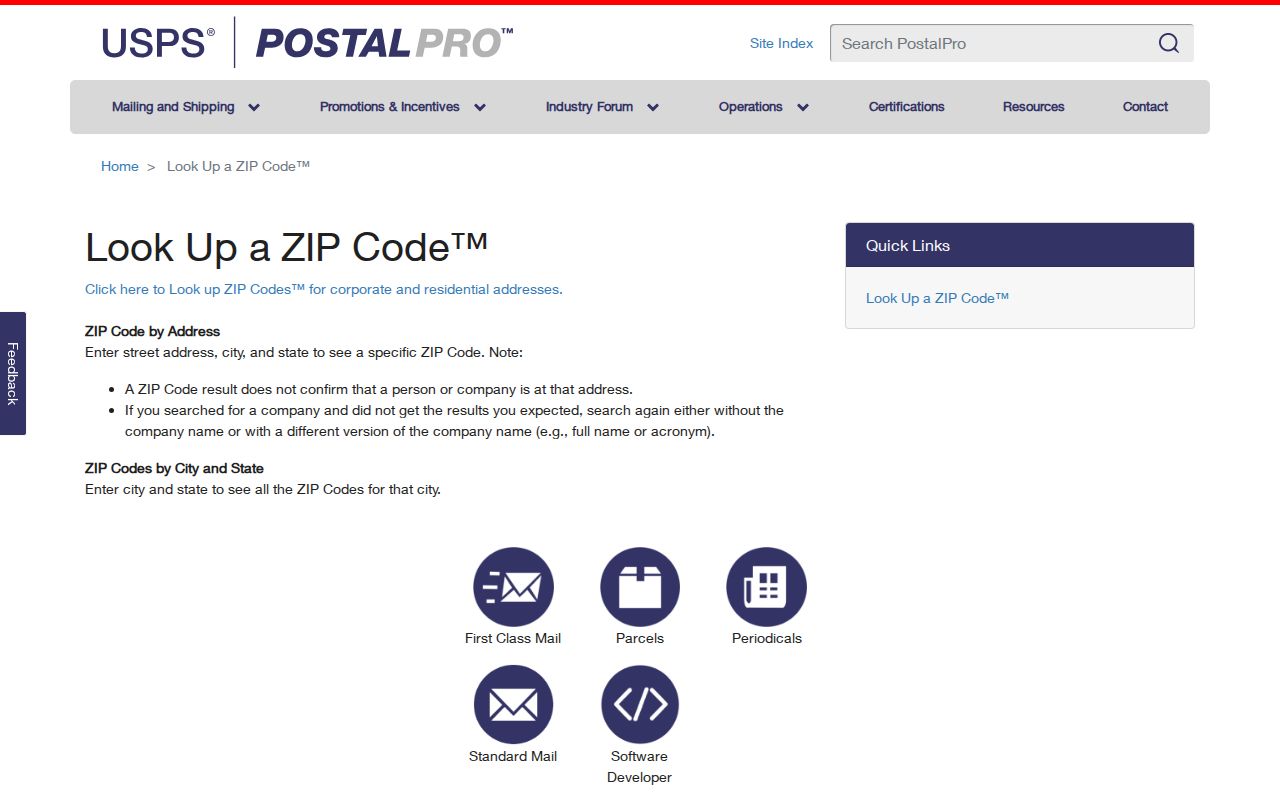
For a historical postal question, USPS Postmaster Finder can search a ZIP range, but it warns that historical assignments may no longer be current. Use it only for postal-history context. A present-day delivery check belongs in the current USPS tool, dated when the result is recorded.
Eden Prairie ZIP Code Parcel Searches
Postal ZIP, situs address, mailing address, and legal description are four different keys. The situs address identifies where a parcel sits. A mailing address receives tax correspondence and may differ from the parcel location. A legal description, addition, lot, block, or metes-and-bounds description is the land-record bridge. Eden Prairie's public GIS parcel schema includes ZIP alongside house number, street, unit, address, PID, lot, block, addition, district, and owner or mailing fields. It is a parcel reference service, not an occupant list.
| ZIP field | A postal attribute in the city parcel schema, useful for map and parcel context. |
|---|---|
| Situs address | The physical parcel location used by the county property search. |
| Mailing address | The tax-correspondence address, which can differ from the situs. |
| PID | The 13-digit Hennepin parcel identifier used to carry a property result into other records. |
| Legal description | The deed and recording key that can remain stable when an address format changes. |
The Hennepin Property Information Search accepts a property address, PID, addition name, or interactive map. Its public static page does not show a confirmed ZIP-wide filter or an owner-name search mode. A ZIP-bearing GIS parcel set is not a list of who lives there, and the map service's reference-use notice should be respected.
Hennepin's property-search page shows the legitimate parcel entry points.
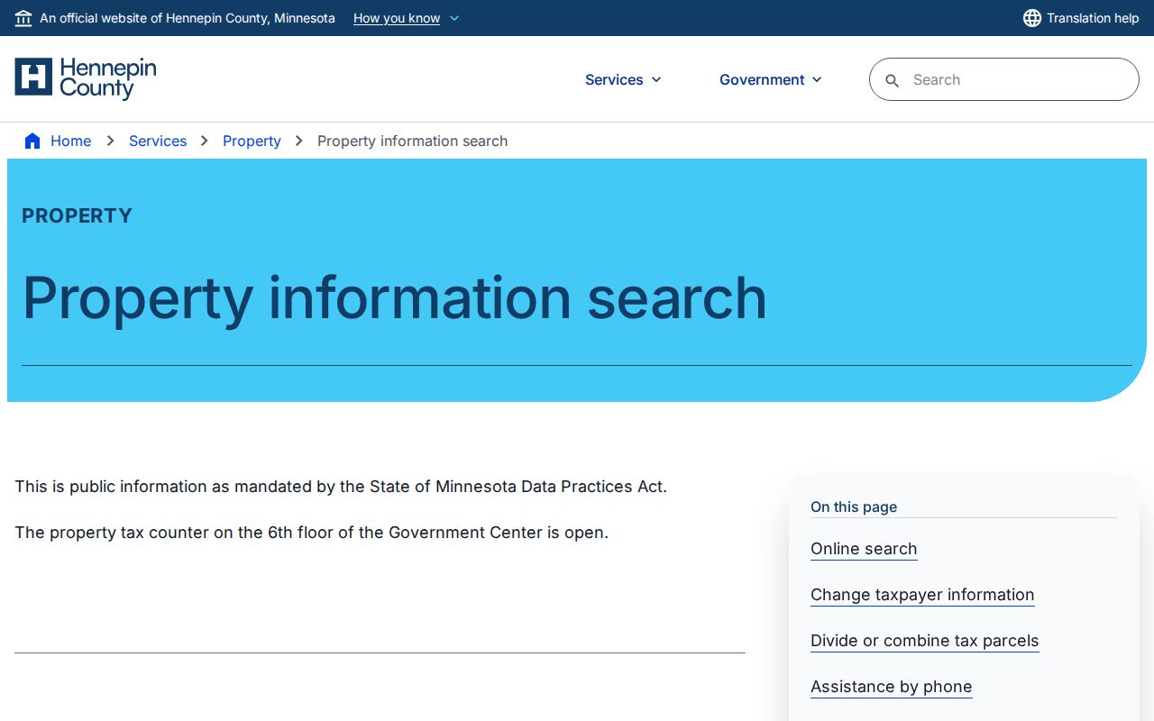
Once a parcel is located, the result can lead to tax, assessment, sales, parcel-description, and recent-recording information. Recent recording history reaches only the last five years, so it is not a complete deed chain.
Eden Prairie ZIP Code Directory Assessor Modes
The direct Hennepin Property Information portal is an address, PID, addition, and map tool. It does not convert a ZIP code into a public people directory. Use a standardized USPS address to select the right parcel, then save the PID and legal description for later property or Recorder work. The distinction prevents a mailing label from being mistaken for an owner, resident, or city-boundary result.
The Hennepin assessor interface is the county layer behind an address-to-parcel search.
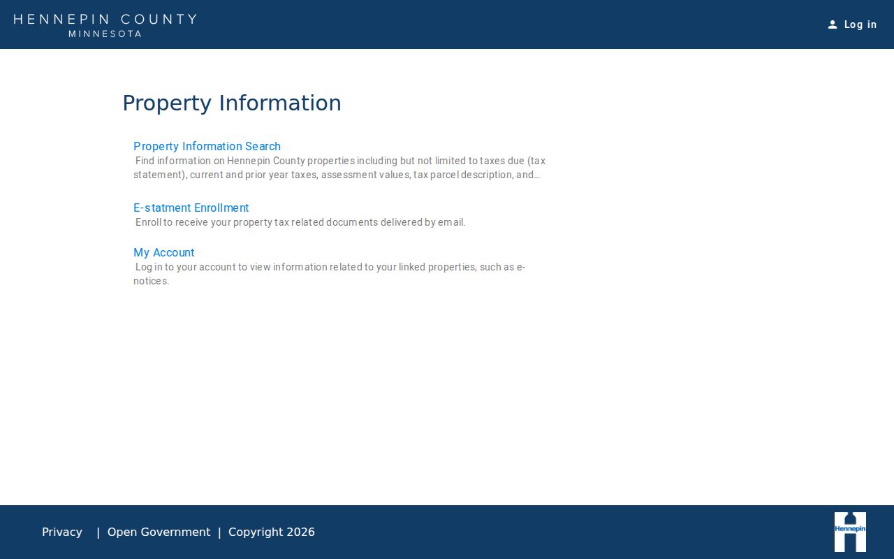
A property result can show tax statements, current and prior tax status, assessment values, parcel description, sales information, and a recent-recording link. Owner or mailing fields appear in the Eden Prairie GIS schema, but the research did not confirm them as a named public search field on the county property page. Keep the source and retrieval date with the result.
Find an Eden Prairie ZIP Code Match
Start with the narrowest tool that answers the actual question. Postal verification comes first when the mailing format is uncertain. Parcel verification comes next when the goal is a specific piece of land. A voter registration check is narrower still: Minnesota's lookup has ZIP search mode, but it requires first name, last name, date of birth, ZIP, city or township, house number, and street. It does not return an anonymous list of residents within a ZIP.
- Use USPS ZIP Lookup to standardize the known address or identify ZIP labels associated with Eden Prairie.
- Enter the known address, PID, addition name, or map point in Hennepin Property Information.
- Confirm the parcel's ZIP, geometry, and legal fields in the Eden Prairie GIS parcel service when needed.
- Use Minnesota voter lookup only for a specified person with all required match fields.
- Carry the PID or legal description into Recorder research if the question becomes recorded ownership history.
After a ZIP narrows an address, use the Eden Prairie street directory for the address-by-address workflow. It explains how parcel, GIS, and Recorder records connect without claiming that a ZIP label identifies an occupant.
Note: A full voter-file request has statutory requester and purpose restrictions, so it is not a substitute for a ZIP search.
Eden Prairie ZIP Code Labels Are Not City Limits
USPS labels do not define Eden Prairie city limits or official neighborhoods. An address outside the city can use an Eden Prairie mailing label, and a city parcel can have mailing details that differ from its situs. Verify the municipality with the Hennepin parcel record and Eden Prairie GIS service. Verify delivery with USPS. Do not turn those separate results into an invented ZIP boundary map or a claim that every address carrying the label is inside city limits.
- ZIP versus ZIP+4
- A five-digit postal delivery area versus a more specific delivery segment appended to it. Neither is a municipal boundary.
- PO-box ZIP
- A postal code used mainly for boxes at a post office. No Eden Prairie-specific PO-box ZIP was located in the research.
- Unique ZIP
- A code associated with a single organization or high-volume destination. No local unique ZIP was identified in the research.
- Carrier route
- A postal delivery grouping used for mail operations, not a city district or a household list.
Postal boundary limit. A ZIP result verifies postal geography only. Use the city GIS or county parcel source for the separate municipal and parcel questions.
Eden Prairie ZIP Code Geography Gaps
The missing data points matter. No official USPS polygon or exact Eden Prairie neighborhood/post-office boundary map was located. No official per-ZIP population or voter-registration table was located. The city GIS service has a ZIP field and query capability, but its public map and reference path does not authorize an occupancy conclusion or a bulk people list. A line should be drawn only when the responsible public source actually supplies it.
The City of Eden Prairie parcel layer is updated quarterly. Its ZIP value can help compare a standardized mailing address with a mapped parcel, but the update schedule does not make it a postal-boundary authority. Record the source date and field name whenever a ZIP value is compared with USPS output.
City landmarks such as Flying Cloud Airport, Eden Prairie Center, Purgatory Creek, Round Lake, Anderson Lakes, and the Golden Triangle can help orient an address on a map. They are not official ZIP boundary names unless an official postal or GIS source explicitly labels them that way.
Eden Prairie ZIP Code Records Trail
A well-documented ZIP inquiry keeps a short chain: USPS result and date, parcel source, PID, situs or mailing distinction, and the next official record if one is needed. That record may be a Recorder instrument, a city permit, or a person-specific registration match, each with its own limits. Hennepin RecordEASE is the recorded-land trail once a legal description is known; its index is free after an account request, while document images and certificates use different paid, terminal, or copy routes.
The local record landscape reflects a city of more than 64,000 residents and extensive modern parcel geography, but the ZIP layer remains postal. A source can be useful without being asked to answer a question it was never designed to answer.
When two official results differ, retain both dates and ask the responsible custodian which field governs that record. A postal correction does not revise a parcel description, and a parcel result does not replace USPS delivery confirmation.
Note: Save the USPS query date, parcel PID, source URL, and the exact field each result supports before comparing records.