
Trace an Eden Prairie Street by Address
The practical Eden Prairie address-search workflow follows an address-to-parcel chain. The county assessor system recognizes an address, PID, addition, or map selection. The city GIS layer then shows the parcel’s mapped location and legal fields. RecordEASE uses a legal description or party name to reach recorded instruments. The Minnesota voter lookup is narrower: it checks a submitted name, date of birth, and address combination. Historical address searches may then use Hennepin Library directories. This sequence distinguishes a land-record fact from a person-specific match or a published historical entry.
- Enter the Eden Prairie situs address in Hennepin Property Information and save the 13-digit PID, addition, legal description, and result date.
- Open the city parcel map and confirm the parcel boundary, house number, lot or block, ZIP field, and adjacent PIDs.
- Use the legal description and relevant party names in RecordEASE to find recorded transfers or related instruments.
- Use Minnesota’s voter tool only when the specific name, date of birth, and full address fields are available.
- For a past household question, search an address in available criss-cross or city directories, then compare the publication year with maps, deeds, census material, or newspapers.
A street is not one record. It can include separate lots, condo parcels, parent and child PIDs, vacant land, common areas, or a road boundary. Work one parcel at a time and label the source, date, PID, and role. That record trail is more auditable than treating a list of addresses as a list of residents.
Find an Eden Prairie Street Parcel
Hennepin County Property Information Search is the first official address tool for an Eden Prairie street directory search. It accepts a property address, 13-digit PID, addition name, or interactive map selection. The result can lead to tax statement and due information, prior-year taxes, assessment values, parcel description, sales information, and recent recording history. That final link reaches only the last five years according to the county. It is a fast document clue, but it is not the full history of a parcel.
| Search field | Street-directory use | Result boundary |
|---|---|---|
| Property address | Finds the physical parcel location. | Standardize street suffix and unit when known. |
| PID | Connects county, GIS, and Recorder research. | It is a parcel key, not a person key. |
| Addition name | Finds a legal subdivision when the address is uncertain. | It does not identify a household. |
| Interactive map | Allows a visual parcel selection. | Confirm the selected parcel before relying on it. |
| Recent recording history | Shows a recent land-record lead. | County scope is limited to five years. |
See the Hennepin property search screen for the address, PID, addition, and map entry modes.
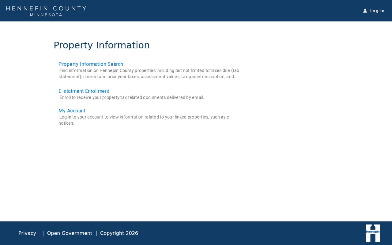
The interface shows the official entry points that anchor an Eden Prairie address search in a parcel rather than a name-only assumption.
Eden Prairie Street Address Keys
Three address terms prevent common errors in Eden Prairie street research. The situs address is where the parcel is physically located. The owner mailing address is where tax correspondence is sent and may be elsewhere. The legal description identifies land through a lot, block, addition, or survey description and is the stable bridge to a deed search. If a street number has changed or is formatted differently in an older source, use the PID and legal description rather than guessing that two matching numbers describe the same parcel.
- Parcel
- A defined piece of land represented by a PID and a mapped boundary.
- Situs address
- The physical address of that parcel.
- Plat
- A recorded map that lays out lots, blocks, additions, and streets.
- Criss-cross directory
- An address-first directory that can show entries printed for one address in a given year.
Hennepin’s current public property page did not expose an owner-name search as a named mode. The city GIS layer contains owner and mailing fields in its schema, so it should be read as a distinct source with its own update cycle and use notice.
Read Eden Prairie Streets in GIS
The Eden Prairie GIS parcel service supplies the map-to-PID bridge. Its public parcel schema includes house number, street, unit, address, ZIP, PID, lot, block, plat number, addition, district, neighborhood, school district, watershed, geometry, and owner or mailing fields. City and county data feed the service, and the city reports quarterly updates. The map is especially useful when an address must be distinguished from a nearby parcel, a non-addressed tract, or a different side of a road.
The service documents map and REST query controls for spatial relationship, distance, geometry, output fields, return counts, ordering, and pagination. Those options can identify nearby parcel features when used under the city’s public-use notice. They do not turn the layer into an occupant list. The best public workflow is to click or identify a parcel, record its PID and legal fields, follow the Hennepin link, and use RecordEASE only when the question concerns recorded ownership.
Open the Eden Prairie public parcel service to inspect the official map and layer entry point.
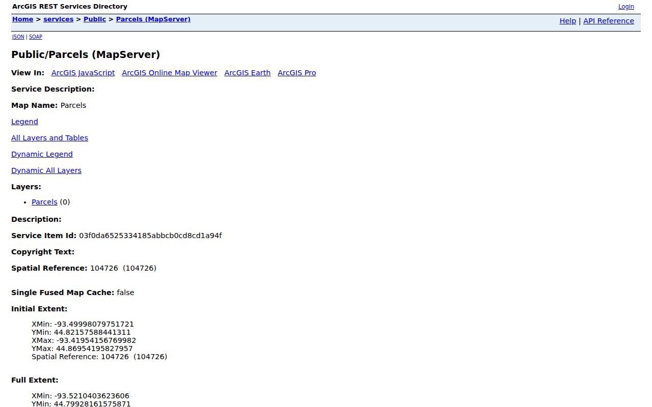
The parcel-service view shows the geographic layer that lets a street search move from an address to its PID and legal description.
Follow an Eden Prairie Street in RecordEASE
Use the Hennepin RecordEASE public index after the address has been tied to a legal description. Hennepin Recorder / Registrar of Titles maintains deeds, mortgages, assignments, liens, releases, satisfactions, Torrens certificates, plats, military separations, tax liens, and other recorded instruments. Search with the legal description and individual or entity names where appropriate. Save the document number, instrument type, grantor, grantee, reception date and time, and legal location. Minnesota Stat. §386.03 identifies these kinds of index fields.
A grantor transfers an interest; a grantee receives one. For a prior transfer, search the prior seller as a grantee in earlier records while keeping the same legal description. For a later transfer, search the grantee as a grantor after the relevant date. Names can repeat, and a recorded owner may be an entity, trustee, spouse, or representative. A mailing address in a document is not a complete statement of who occupies the parcel. The exact online cutoff for the public index was not located in the official research.
See the RecordEASE index entry point before requesting a public account or selecting a copy route.
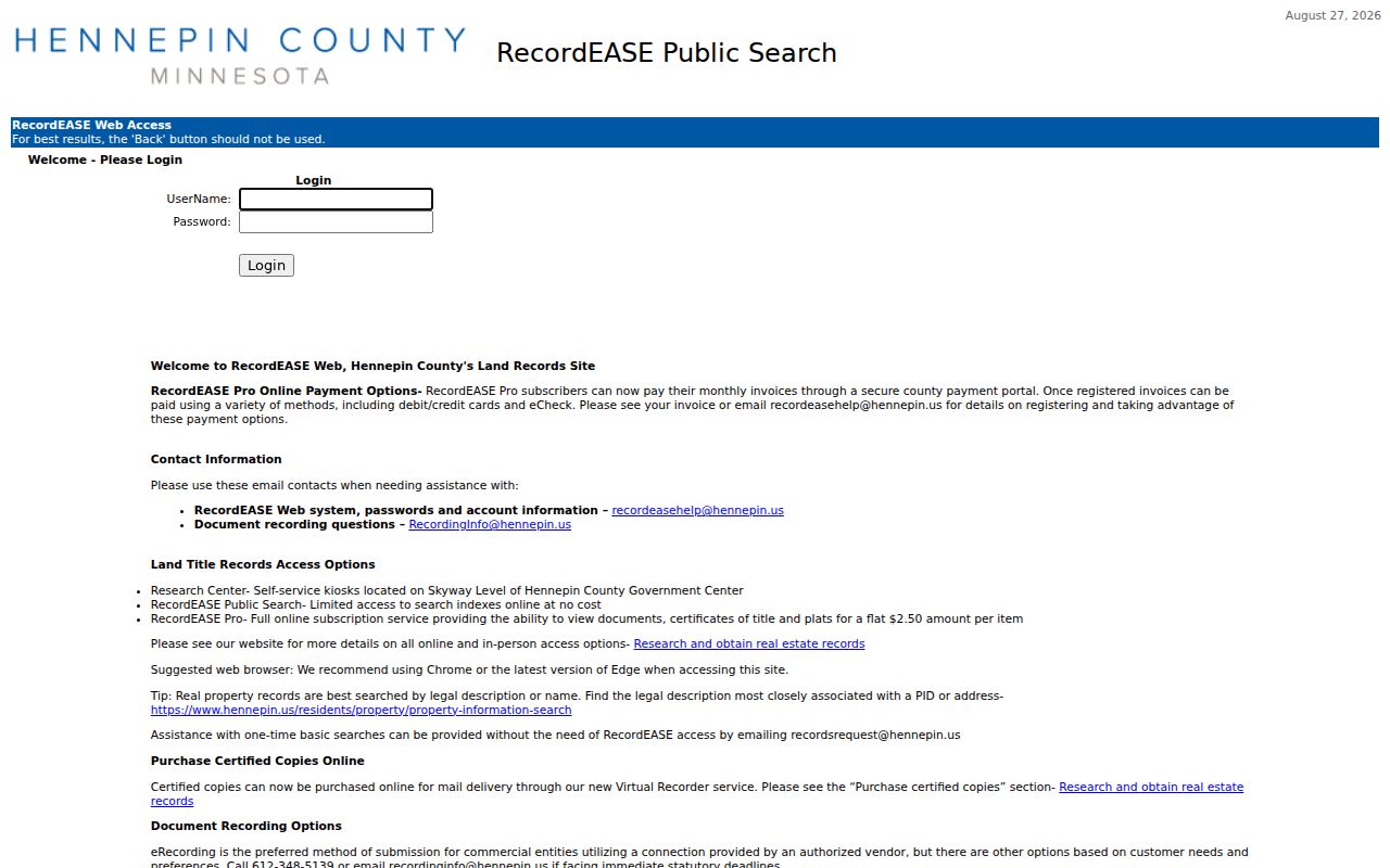
The county index is free after account approval; document images use RecordEASE Pro, a county terminal, mail copies, or the Virtual Recorder.
Eden Prairie Street Records by Address
No official Eden Prairie street record supplies all people on a block. The records below are address keyed, but they describe different things. The property and GIS systems describe a parcel. RecordEASE describes recorded instruments. The voter lookup confirms one submitted registration match. City permit or police records can be subject to public-data procedures and redactions. A historical directory is a dated publication snapshot. Keeping those distinctions visible makes a street result more useful and less likely to overstate who is connected to an address.
| Address-keyed record | What it shows | Official access | Important limit |
|---|---|---|---|
| Hennepin Property Information | PID, situs, tax, assessment, sales, and parcel description | Free address, PID, addition, or map search | Not a list of all people at an address |
| Eden Prairie parcel GIS | Geometry, ZIP, legal fields, district fields, and owner schema | Public map and service | Updated quarterly and subject to a use notice |
| RecordEASE instruments | Deeds, liens, plats, and named instrument parties | Free index account; paid or counter copy routes | Online cutoff has not been verified |
| Minnesota voter lookup | A person-and-address registration match | Specific required lookup fields | Not a street-browse tool |
| City permits and City Docs | Public project, applicant, work, or meeting context | ePermits links, repository, or records request | Exact permit search fields were not located |
| Historical directories | Printed address entries for a publication year | Library digital, print, or MNHS routes | No dedicated Eden Prairie digital run was located |
For a block-radius question, use the Eden Prairie neighbors method, which keeps the focus on adjacent parcels rather than a full named street.
Eden Prairie Voter Matches by Street
The Minnesota Secretary of State voter lookup is not a street-browse portal or a public list that can be searched address by address. It requires first name, last name, date of birth, and an address mode. The ZIP mode also requires ZIP, city or township, house number, and street. The county mode requires the county and the same address details. A successful lookup supplies a confirmation message and links; a non-match supplies instruction guidance. The state says the data update nightly, and a changed registration can take up to 14 days to appear.
Minnesota Stat. §201.091 separates the restricted master list from the public information list. An eligible registered Minnesota voter can request a list for the purposes the statute permits, using a required certification. The request form includes a local geographic option and a walking-list format sorted by street, but it cannot be recast as a general Eden Prairie street roster. Protected Safe at Home addresses are not ordinary address results, and ballot choices are not public list fields.
Note: A voter match can support a specific, submitted person-and-address question, but it does not identify every person associated with an Eden Prairie parcel.
Eden Prairie Street Records at City Hall
City-held records can add a public event or address context. Eden Prairie City Docs is a Laserfiche repository with packets, minutes, ordinances, and resolutions organized by type and year. Search controls observed in the repository include OCR text, names, fields, annotations, exact phrases, folder scope, and advanced search. City planning, preservation, cemetery, and public-meeting material can name applicants, landowners, petitioners, public commenters, civic groups, or project addresses.
Building Inspections links ePermits and ProjectDox, but the exact public address-search fields and the online coverage start were not located in the official material. Police report requests follow the city’s PoliceRecords route and can be limited by investigative or private-data rules. When an online search does not expose the needed public record, request the identified record from the City Clerk under the Minnesota Government Data Practices Act instead of assuming a hidden address index exists.
Historical Eden Prairie Street Clues
Historical street research has a specific local gap: Hennepin Library’s digitized browse did not show a dedicated Eden Prairie city-directory run. The closest useful records are nearby-city and regional runs, including Edina from 1941 to 1977, Hopkins from 1942 to 1977, St. Louis Park from 1933 to 1977, and Minneapolis from 1859 through 1963 in the broader browse. Search a street number and inspect the page image. An address result can contain several entries, so it is a publication snapshot rather than a present-tense household statement.
A criss-cross or reverse directory begins with an address and shows printed occupants or businesses at that address for that year. Directory keys change with the volume. Name spellings, surname-first formatting, abbreviations, and street forms must be read from the book’s own guide. Pair a directory result with a deed date, census, newspaper, cemetery record, or map. The Eden Prairie city directory page explains the nearby-directory collection gap and the historical entry method in more detail.
Eden Prairie Street ZIP Limits
Eden Prairie uses the USPS delivery labels 55344, 55346, and 55347. A ZIP is a mailing key, not a household list or a municipal-boundary line. The city GIS schema has a parcel ZIP field, while USPS ZIP Lookup standardizes a supplied address. Neither result confirms that a particular person is at an address. A parcel’s situs, tax mailing address, legal description, and ZIP are four different pieces of information that may answer different questions.
The official sources did not provide a precise Eden Prairie ZIP polygon, a complete neighborhood-by-ZIP map, or a dated city renumbering table. When an older street number does not line up, compare the addition, lot and block, legal description, plat maps, street variants, and GIS geometry. Ask the Recorder or Planning Division for procedure help rather than inventing an address conversion.
Eden Prairie Street Directory Limits
An address trail cannot reveal every person at a location. Parcel ownership does not establish all household members. The Minnesota voter tool requires one person’s submitted details and has statutory controls. Motor-vehicle address data are restricted by Minnesota law and the Driver’s Privacy Protection Act. Utility, delivery, private association, and confidential public-safety information are not public street-directory sources. Court and police data can also be sealed, confidential, or redacted. A missing result can reflect a lawful privacy protection.
Safe at Home participants have a designated address and mail-forwarding service. Do not attempt to bypass that protection through GIS, deeds, voter records, or cross-links. A written request should seek only the public part of a specific record and accept the custodian’s statutory explanation for withheld material.